America's Most Beautiful Roads Exist Because Engineers Screwed Up
When Bad Planning Creates Great Drives
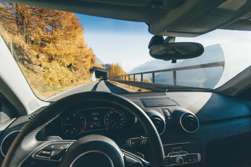
Every car enthusiast has a favorite scenic route — that perfect stretch of asphalt that winds through mountains, hugs coastlines, or carves through forests like it was designed by artists rather than engineers. The beautiful irony? Most of America's most stunning drives exist because someone, somewhere, completely screwed up the original plan.
The roads we consider engineering marvels today were often born from bureaucratic disasters, legal battles, and technological limitations that forced highway builders into terrain they never wanted to touch. What we see as deliberate beauty was usually just expensive problem-solving.
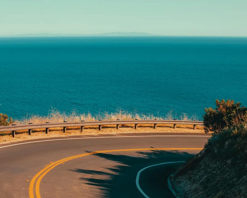
The Pacific Coast Highway: A Masterpiece of Stubbornness
California's Highway 1 wasn't designed to showcase dramatic ocean views — it was the route of last resort. The original plan called for an inland highway that would be cheaper, faster to build, and more practical for commercial traffic. But a combination of difficult geology, property disputes, and political infighting kept pushing the route closer and closer to the coast.
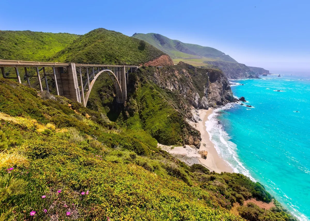 Photo: Pacific Coast Highway, via cdn.audleytravel.com
The most famous section through Big Sur exists because engineers literally had no other choice. The Santa Lucia Mountains drop so steeply into the Pacific that building inland would have required dozens of expensive tunnels and bridges. The "scenic" coastal route was actually the path of least resistance, even though it took 18 years to complete and cost more per mile than any highway project in California history at the time.
The highway's most photographed feature — the Bixby Creek Bridge — was built where it is because survey teams couldn't find anywhere else to cross the canyon that wouldn't require even more dramatic engineering. That iconic arch spanning a 260-foot gorge? It's there because everywhere else was worse.
Blue Ridge Parkway: When the Military Gets Involved
The Blue Ridge Parkway's 469 miles of mountain curves weren't designed for Sunday drives — they were part of a Depression-era jobs program with a hidden military agenda. The Civilian Conservation Corps built the road as unemployment relief, but military planners were secretly interested in creating a transportation corridor that could move troops and equipment along the Appalachian spine if coastal areas were ever invaded.
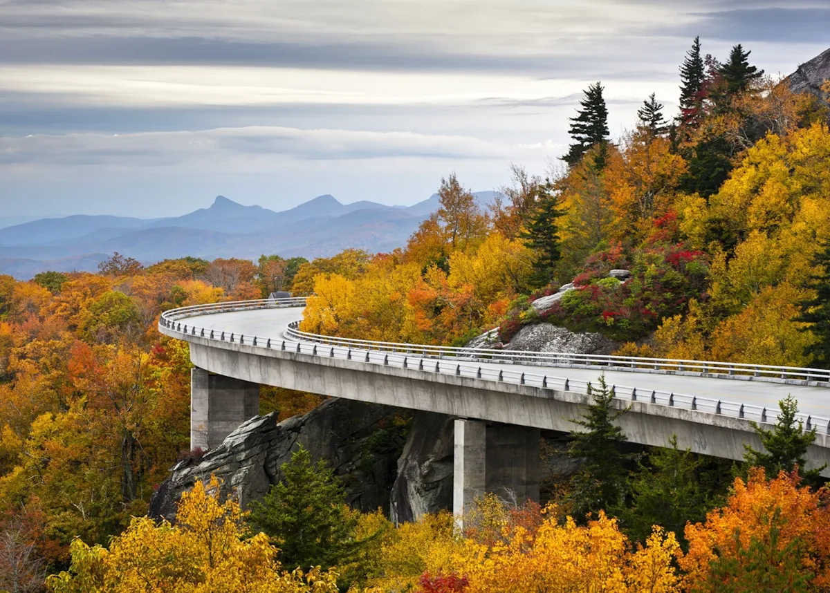 Photo: Blue Ridge Parkway, via cdn.audleytravel.com
The parkway's famous scenic overlooks exist because engineers needed places to store construction equipment and materials. Rather than build temporary access roads, they created pullouts that happened to offer spectacular views. The National Park Service later marketed these utilitarian features as intentional scenic stops, and tourists bought the story completely.
The road's meandering path through Virginia and North Carolina follows ridge lines not for aesthetic reasons, but because Depression-era construction equipment couldn't handle steeper grades. Modern highways punch straight through mountains with tunnels and cuts, but 1930s technology forced builders to follow the natural contours of the land — accidentally creating one of America's most beloved scenic drives.
Going-to-the-Sun Road: Engineering Nightmare, Tourist Gold Mine
Montana's Going-to-the-Sun Road through Glacier National Park exists because the National Park Service made a spectacularly bad bet about automobile technology. When planning began in 1921, engineers assumed cars would remain small, lightweight, and low-powered forever. They designed a narrow, winding mountain road with tight curves and steep grades that would showcase the park's scenery while accommodating Model T Fords.
 Photo: Going-to-the-Sun Road, via uprootedtraveler.com
By the time construction finished in 1932, American cars had gotten bigger, heavier, and more powerful. The road that seemed adequate for 1920s vehicles became a white-knuckle adventure for 1930s automobiles. Modern RVs and tour buses can't use it at all, which has accidentally preserved its character as an intimate driving experience.
The road's most dramatic feature — the section carved into the face of the Continental Divide — wasn't planned as a scenic highlight. Engineers wanted to build a tunnel, but the rock was too unstable and funding too limited. The exposed mountain face route was a compromise that terrified early drivers and continues to thrill modern ones.
The Overseas Highway: Disaster Recovery as Tourist Attraction
Florida's Overseas Highway connecting the Keys to the mainland exists because of one of America's most expensive infrastructure failures. Henry Flagler's Florida East Coast Railway originally linked the islands with an ambitious rail line that took seven years and hundreds of lives to build. Then the Labor Day Hurricane of 1935 destroyed most of it in a single afternoon.
Rather than rebuild the railway, engineers converted the surviving sections to automobile use and filled in the gaps with new construction. The result was a 113-mile highway that island-hops across the ocean — not because anyone thought it would be scenic, but because it was cheaper than starting over.
The Seven Mile Bridge, now one of the highway's most famous features, uses the original railway foundation because engineers couldn't afford to build a completely new crossing. That spectacular drive across open water exists because of recycled train infrastructure, not visionary highway planning.
Tail of the Dragon: When Surveyors Get Lost
North Carolina and Tennessee's famous "Tail of the Dragon" — 318 curves in 11 miles — wasn't designed to challenge sports car drivers. It's the result of 1930s survey teams who got confused in the Smoky Mountains and couldn't figure out how to connect two existing road segments without following every contour of the landscape.
The road's serpentine path through the Deals Gap area follows deer trails and creek beds because early surveyors lacked accurate topographical maps. When they finally figured out where they were, they'd already committed to a route that twisted through terrain no sane engineer would have chosen deliberately.
Modern GPS and satellite mapping would have produced a straighter, more efficient highway. Instead, we got a road that accidentally became a pilgrimage site for motorcycle and sports car enthusiasts from around the world.
The Beautiful Accidents We Drive Today
America's scenic highways remind us that some of our best experiences come from other people's worst plans. The roads we travel for pleasure were often built by people solving problems we can barely imagine today — working with primitive equipment, limited budgets, and political constraints that would seem absurd to modern planners.
Next time you're driving a spectacularly beautiful route, remember that you're probably following the path of maximum bureaucratic resistance. Someone, somewhere, wanted to build a boring, efficient highway and failed magnificently. Their loss is our gain, and the American landscape is more beautiful because early highway builders were so bad at taking the easy way out.